
Walking Coast To Coast Via Hadrians Wall Path : Haltwhistle To Grinsdale
After a wet night and large breakfast we returned to the roman wall where we found the going to be quite easy as the overnight rain had softened the ground just enough to create a little sponginess which was quite welcome to my feet.
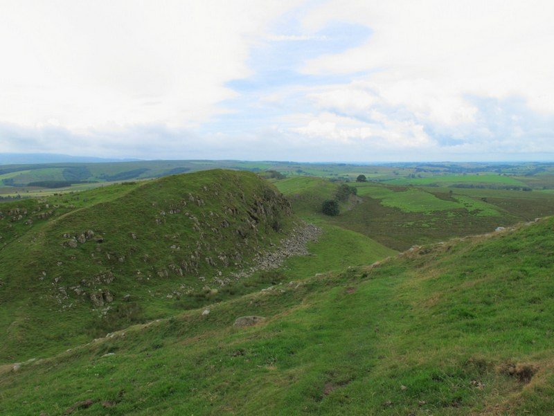
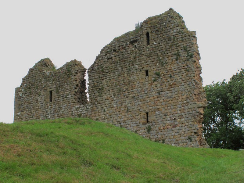
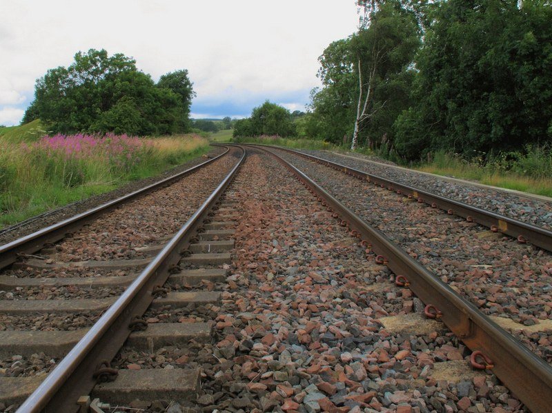
| Walltown Crags | Thirlwall Castle | Rail Crossing At Longbyre |
After stopping for coffee at Walltown we crossed the railway by Thirlwall castle and pressed on to Gilsland where the path passed under the railway. We made a short stop in the village to treat ourselves to ice cream and cold drinks. The following couple of kilometers to Birdoswald have extensive roman remains.
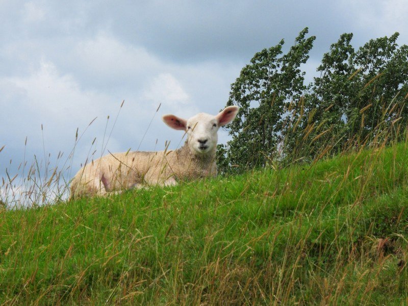
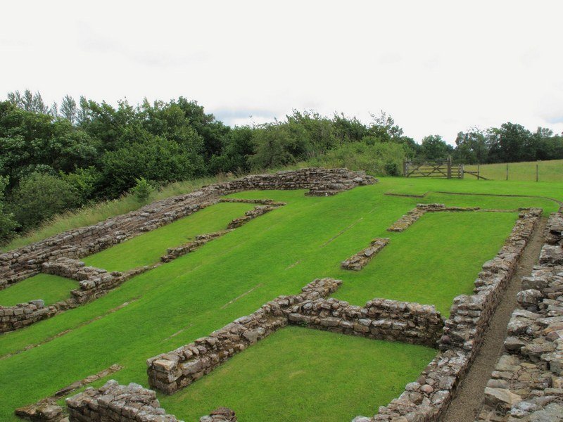
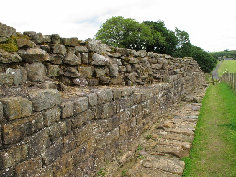
| Near Gilsland | Poltross Burn Milecastle | Approaching Willowford |
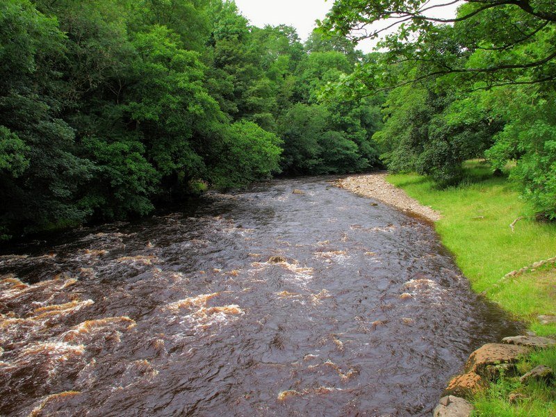
The river crossing at Willowford is in a lovely piece of countryside which was home to a huge number of swallows. At this point the path roughly follows the River Irthing which becomes the Eden in Carlisle, the Tyne disappears off to the South at Haltwhistle.
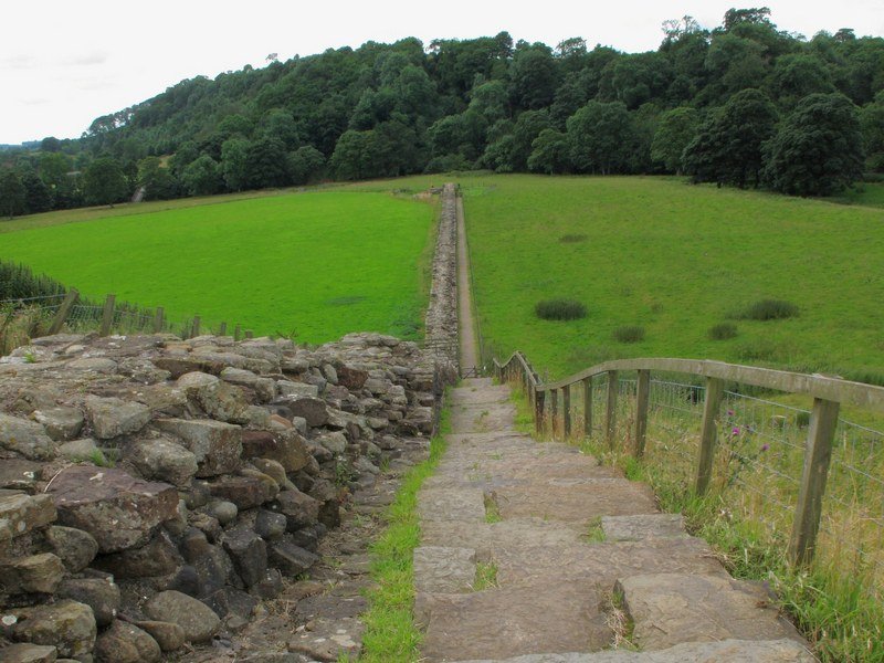
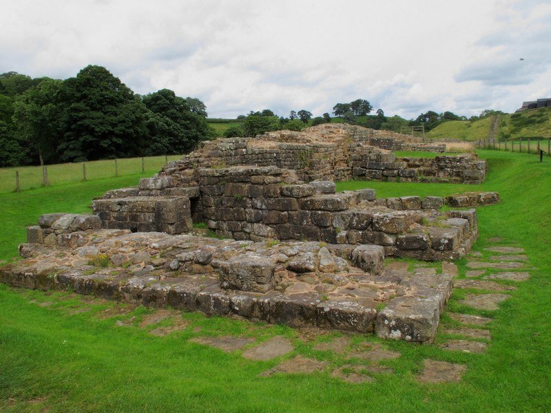
| Willowford |
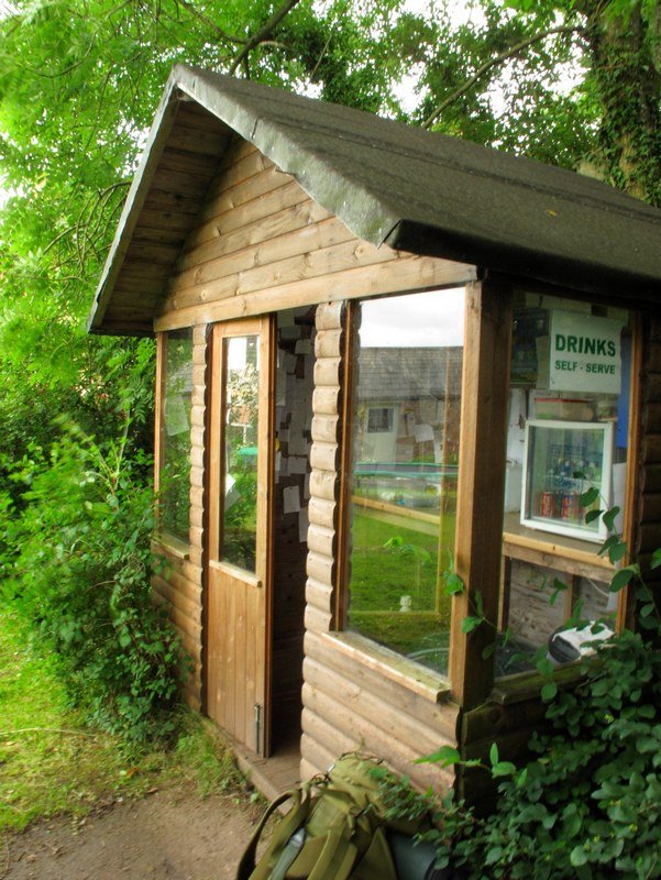
Pressing on through Banks there was a very welcome self service shed at Haytongate where you could buy snacks and make yourself a cuppa, this was doubly welcome as it rained for the 15 minutes that we were there. Shortly afterwards the remains of the wall itself petered out although the associated earthworks were still visible from time to time along the remaining route.
The terrain was now flatter than it had been and there seemed to be a gradual descent all the way to the coast. Near Oldwall we noticed that we were being followed by a herd of cows, I dont know if they were friendly but they certainly picked up the pace as we crossed their rather large field.
| Haytongate Tea Shack | Cool Tree | Friendly Horse |
Due to time constraints we decided to cross Carlisle after dark, the sun had set by the time that we got to the M6 to the East of the city and we experimented with light trail photography from the bridge over the motorway. The route through Carlisle is by the river and mainly avoids built up areas, however the Hadrians Wall Path route was diverted in a couple of places which meant a bit of head scratching while studying the map by torchlight. (When you get to a football ground keep straight on to the corner of the field, then you can get under the railway – this is not at all obvious at night, but may be clearer in daylight.)
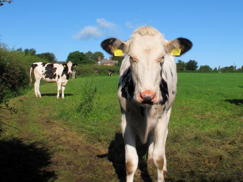
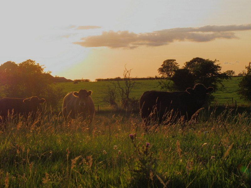

| Friendly Cows | More Friendly Cows | The M6 Near Junction 43 |
